Raster catalog
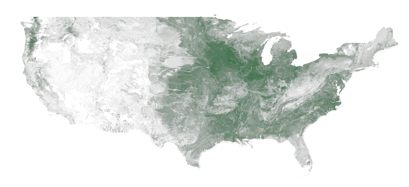
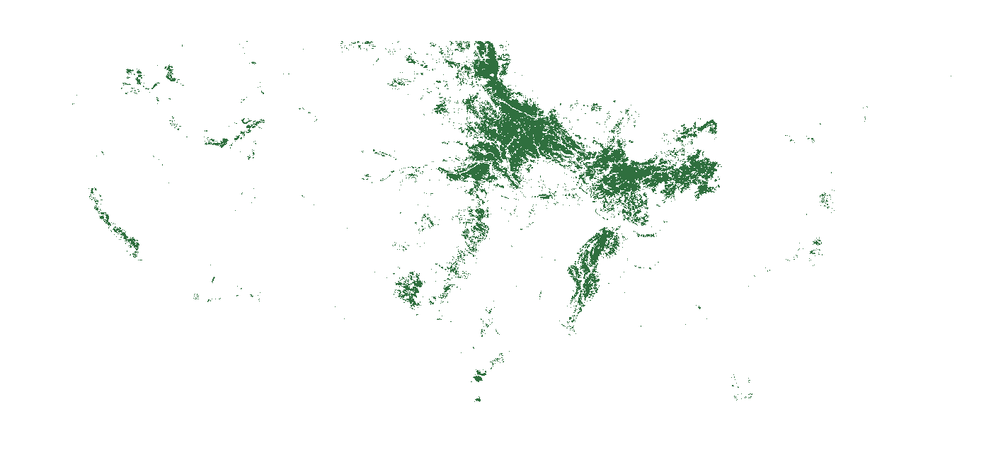
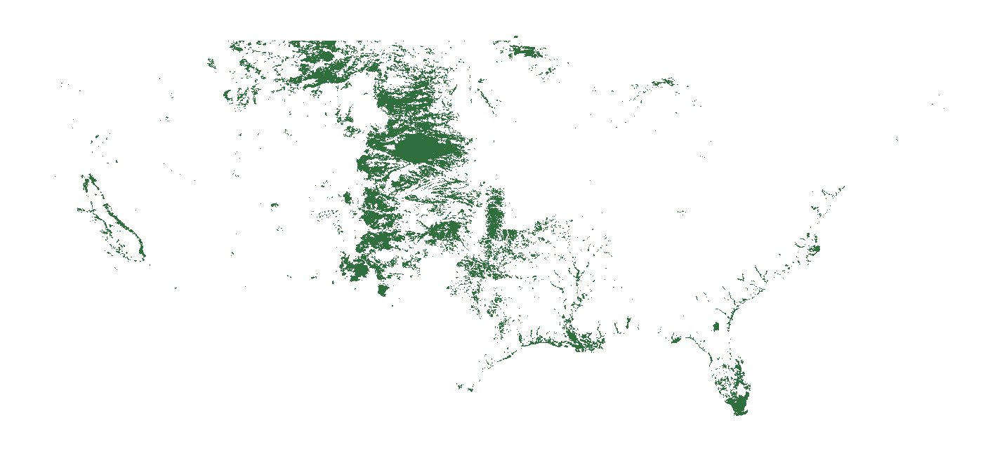
Gridded (raster) layers — geospatial coverage stored as Cloud-Optimized GeoTIFF in object storage, cataloged here by footprint and metadata.
1249 × 534 px ·
57.4 KB ·
WGS 84
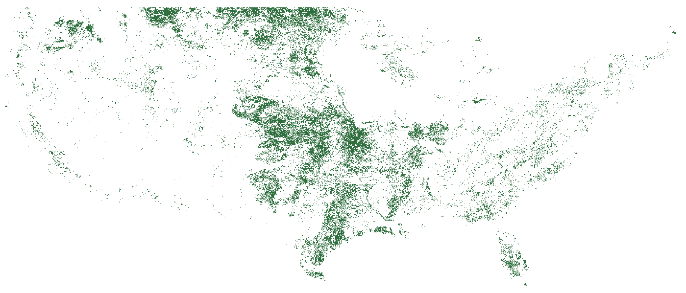
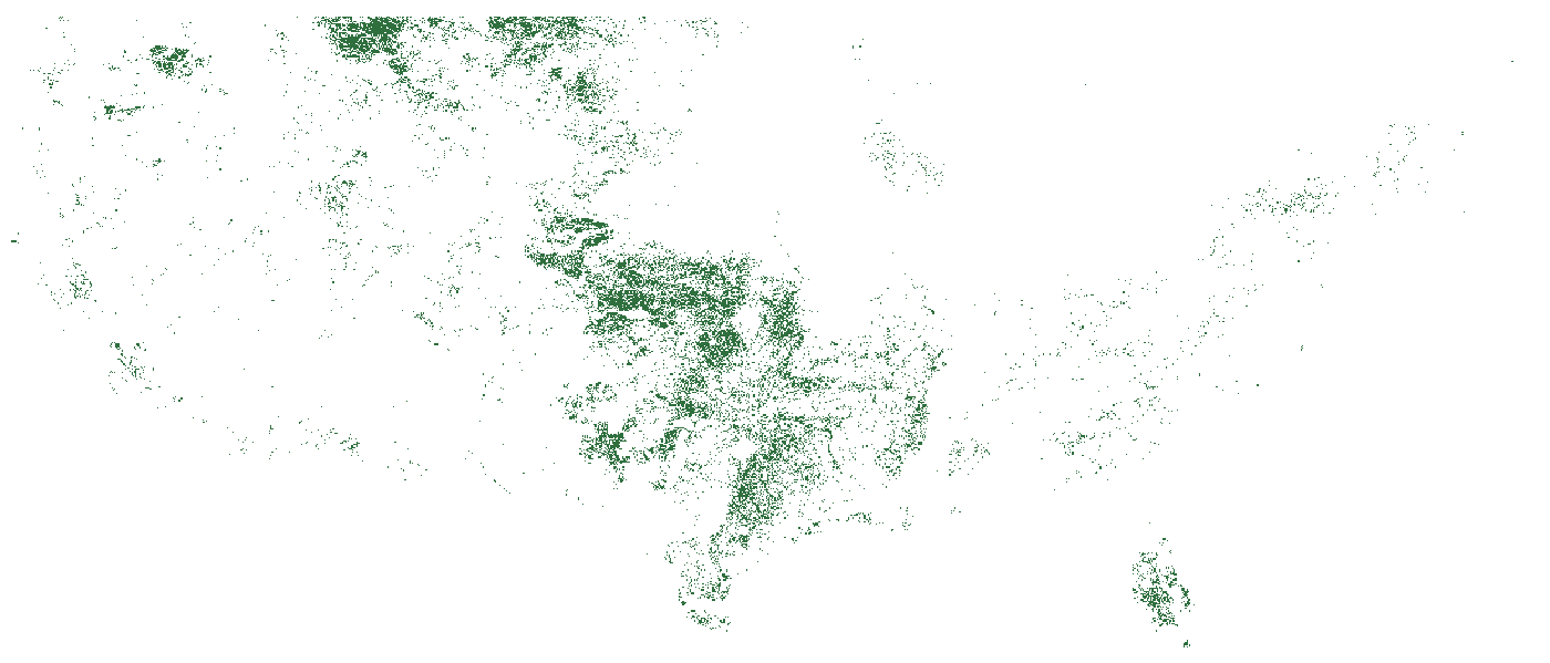
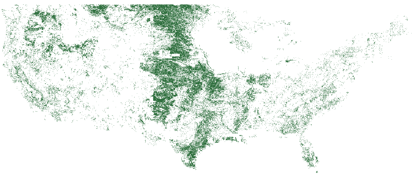
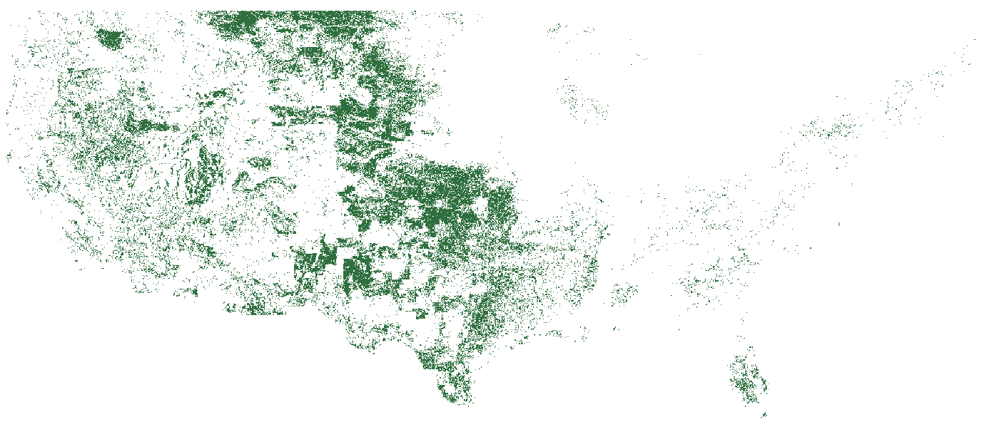
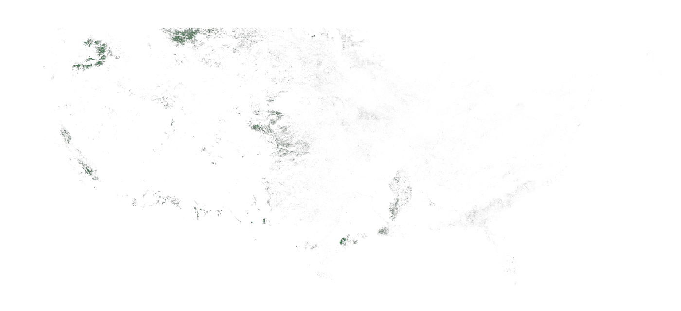
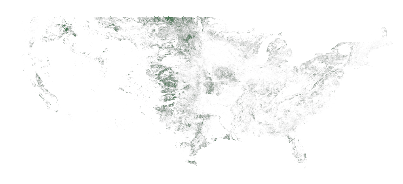
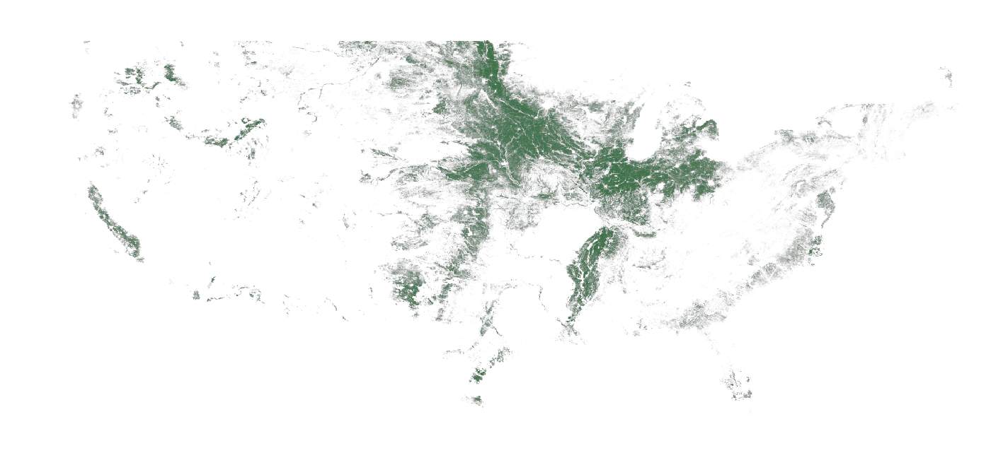
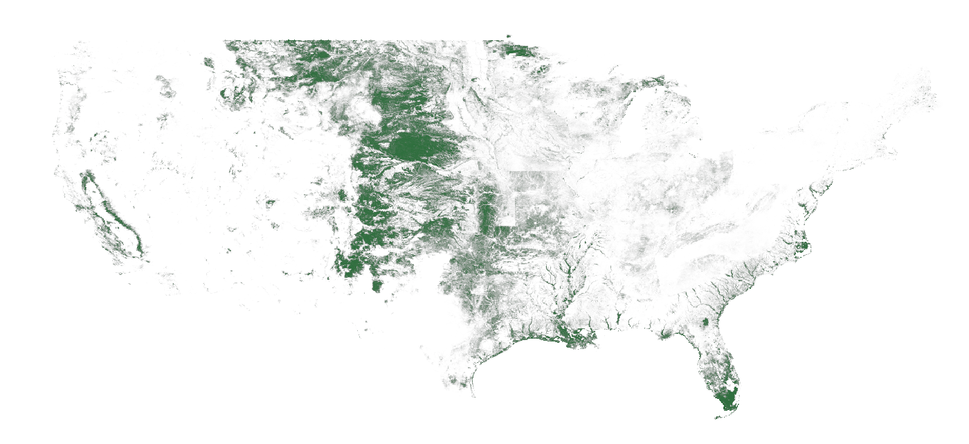
Those pixels are never downloaded whole — the image above is rendered from the Cloud-Optimized GeoTIFF's own overviews, the same range-read trick a client uses to pull one field at one resolution.